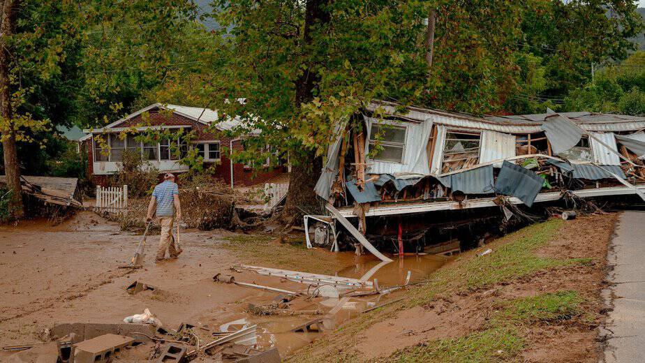
FEMA uses outdated flood maps—and Americans are paying the price
The Flood Insurance Rate Maps used by FEMA are based on antiquated data and obsolete models. As a result, the U.S. government downplays flood risks for homeowners across the country—but especially in mountainous regions like Appalachia.
Source: FEMA uses outdated flood maps—and Americans are paying the price


