In the wake of Hurricane Ian, it still isn’t clear how many homes were destroyed in Florida. But it is clear that some neighborhoods could take years to rebuild, and likely that those who have the means to do so will choose to move to higher ground. That was already beginning to happen in parts of Florida, as the state is increasingly threatened by rising sea levels. In some cases, people who move are displacing poorer residents who were already living farther inland or uphill—a process called climate gentrification. Areas that were once cheaper because they didn’t have ocean views are now becoming more desirable.
A new study shows how it’s possible to map where climate gentrification is already happening or is at risk of happening in the future. The researchers found that it isn’t just a matter of richer people moving to new neighborhoods. In at least one area, a neighborhood in Tampa, it appears that businesses are also beginning to displace lower-income residents who lived in areas that were safer from flooding. “We discovered businesses and industry were also in this race for higher ground,” says Jesse Keenan, a professor at Tulane University and one of the authors of the study.
In two case studies that tested the new model, the researchers looked at data about environmental risks from sea level rise, along with data on rentals, evictions, and social vulnerability, to create a “climate gentrification risk index.” The model doesn’t try to guess why someone might have moved, but instead looks for correlation between environmental risk and where households are moving. “There are, of course, other factors in gentrification, but climate is definitely a catalyzer,” says coauthor Marco Tedesco, a climate scientist at Columbia University, who developed the dataset that underlies the study.
“The model highlighted some areas that we know are sort of ground zero for climate gentrification in qualitative terms,” Keenan says. In Miami, it identified Little River, a community next to the richer neighborhood of Miami Shores. Little River is safer from flooding; it’s also quickly gentrifying, with a much higher rate of evictions than Miami Shores. (As property values rise, landlords may be more likely to try to force tenants out so rents can be raised.) At least part of the gentrification may be “attributed to environmental and climate-related risk aversion,” the study says.
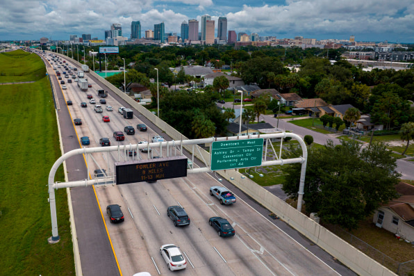
In Tampa, the researchers looked at a neighborhood called Dixie Farms, another low-income community near neighborhoods with higher flood risks. The model showed that displacement has been happening at a high rate there. When they visited Tampa to investigate more, they learned that some affordable homes and mobile home parks in the neighborhood had been sold and slowly replaced by businesses. That’s partly because Tampa, recognizing the risk of sea level rise, has made it harder to get permits to build or expand industry in areas that are likely to flood. But it also means that many people living in Dixie Farms have had to move (in the cases of the relatively few families who still live there, it also means exposure to more industrial pollution).
Small businesses also need somewhere to go as water rises, and governments need to do more to accommodate everyone, the study authors say. “I think we need to start planning today about land use decisions and movements in the future instead of just letting the market haphazardly create the situation we have,” Keenan says. “What we’ve learned here is that we need to be mindful of where these conflicts are arising today and tomorrow.”
In the future, the model could be used to map potential climate gentrification triggered by other disasters, such as wildfires. Right now, the researchers are continuing to refine the model, and hope to eventually make it available as an online tool.